Field crops, irrigation on a real water balance
The irrigation schedule starts from the state of the soil, not from the calendar.
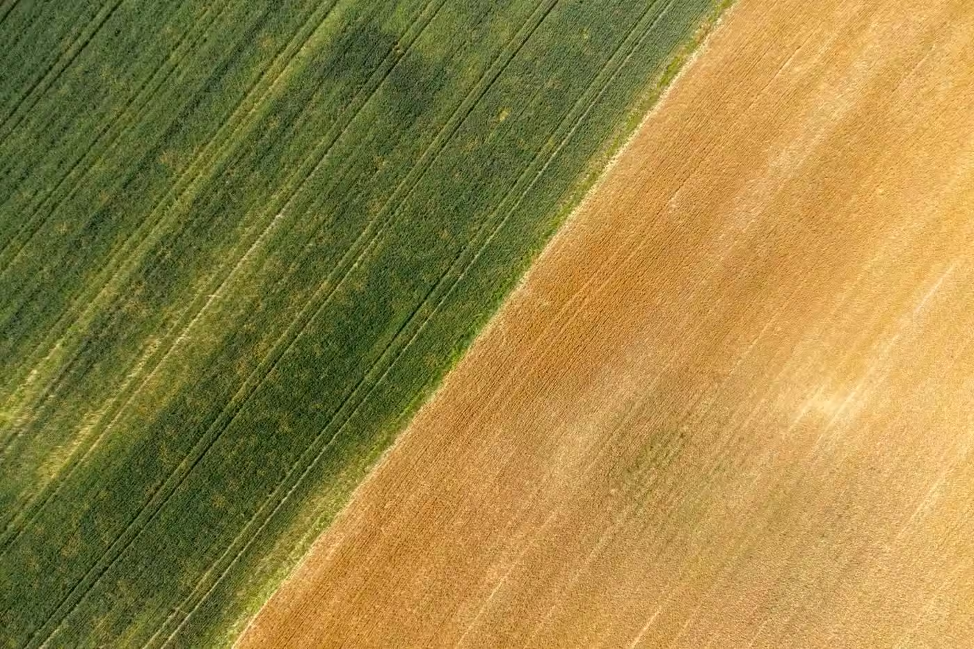
A weather station combined with a soil sensor makes it possible to compute the water balance per field: how much fell, how much evaporated, and how much is actually left in the active layer. Irrigation starts when moisture drops below the management point, not on a date.
The platform cumulates rainfall against reference evapotranspiration ET₀ and shows the accumulated deficit over 7, 30 and 90 days, referenced to the multi-year average for that location.
On top of that come the drought indices, SPEI-30 and KBDI, plus the count of heat days, tropical nights and days without rain. These are the quantities that tell you whether the season is merely dry or already abnormal.